Technical services Learn More Construction Survey, Inspection & Thermography Hero

An integrated workflow instead of isolated services

We fly. We measure. We model. We analyze. We compare.

Meta-Venues Reality Drone combines drone-based and laser-based data capture into one continuous workflow – built for asset owners, operators, facility managers and planners, especially in tropical, coastal and high-humidity environments.

We fly – aerial data acquisition

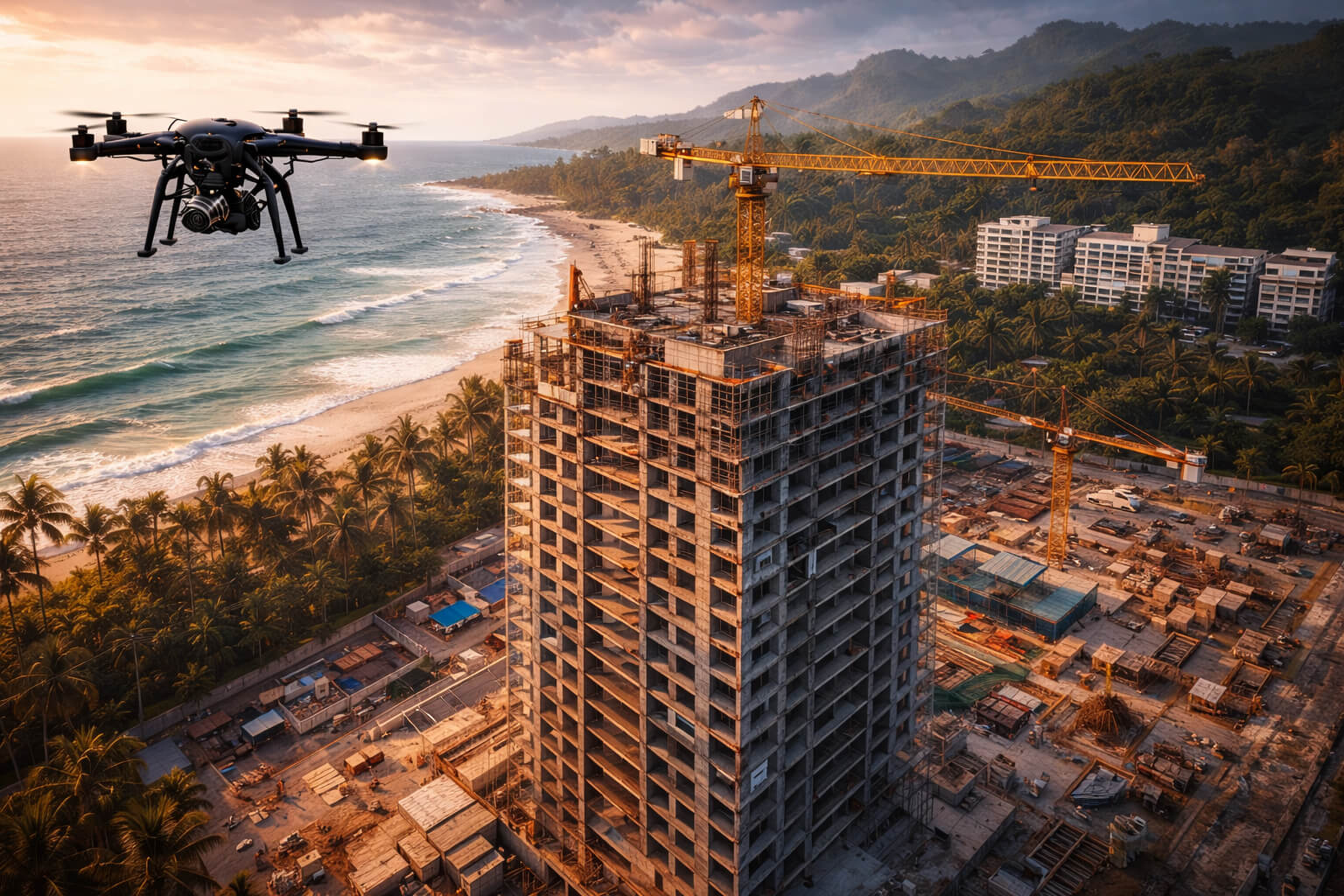
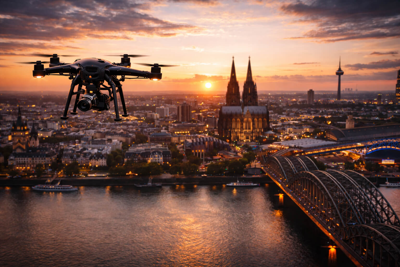
Our drones capture buildings, roofs, façades, sites and infrastructure visually, geometrically and thermally – without scaffolding, without shutdowns and without physical intervention. 
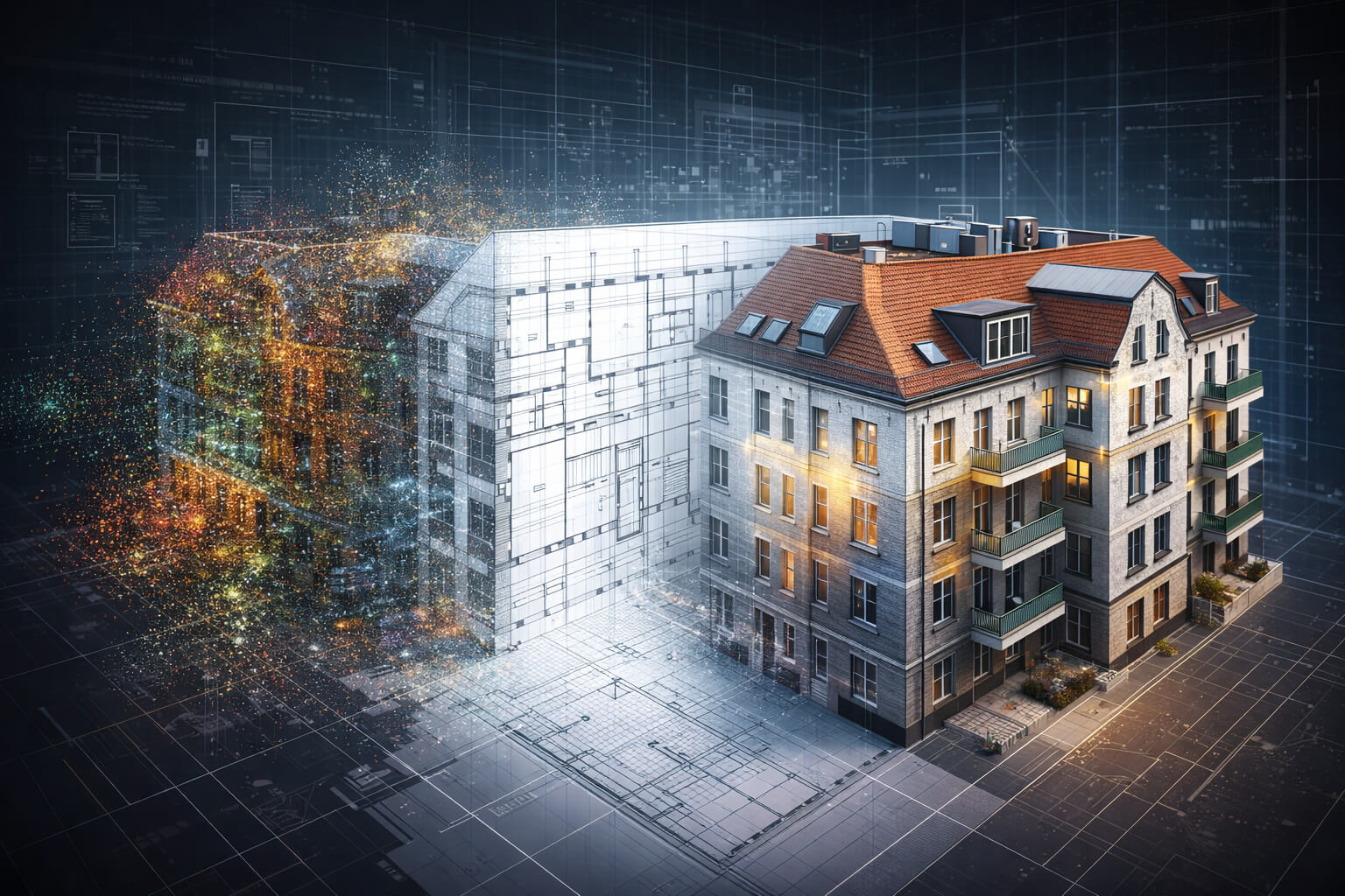
Aerial capture becomes the foundation for photogrammetry, visual inspection, thermography and as-built or construction documentation.
Laser Scanning indoor

We measure – photogrammetry & laser scanning

Aerial photogrammetry generates exterior survey data with typical accuracies of approximately 6–10 cm.

Interiors, façades and complex geometries are captured with mobile and stationary laser scanners at accuracies below 1 cm.

Combining drone and laser data enables complete, high-precision surveys of entire assets – including dense urban sites, waterfront properties and remote terrain.

We model – 3D, CAD & BIM

From the measurements we produce point clouds, 3D models and full as-built documentation including floor plans, sections and elevations. Deliverables are DIN- and SIA-compliant, CAD-ready and BIM/openBIM compatible (IFC). MEP/TGA layers and detail planning can be integrated where required.
we measure

We analyze – damage detection, moisture & thermal risks

Based on image, geometry and thermal data, we run structured analyses including:
  • Detection and localization of damage
  • Moisture intrusion and condensation mapping
  • Thermal stress on roofs and façades
  • Cooling losses in air-conditioned buildings
  • Early indicators of material fatigue
In Southeast Asia, thermography is less about heating losses and more about cooling efficiency, moisture, safety and preventive maintenance. Findings are documented, comparable over time and usable for maintenance planning, tender preparation and cost estimation.

We compare – construction progress & long-term monitoring

Repeated capture enables:
  • Construction progress documentation
  • Condition comparisons across seasons
  • Post-storm / post-monsoon assessments
  • Long-term asset monitoring

This creates reliable decision foundations for maintenance, refurbishment and future planning – especially for weather-exposed and coastal assets.

thermal detection

Thermography for tropical, coastal & high-humidity environments

Thermal imaging reveals heat build-up, moisture intrusion and operational inefficiencies – particularly relevant for:
  • Roofs under intense solar exposure
  • Façades in high-humidity zones
  • Air-conditioned interiors and HVAC interfaces
  • Window and envelope transitions
  • Waterfront and coastal structures

Typical conditions for meaningful thermography:

  • Temperature difference approx. 10–15 °C
  • Low direct solar radiation during capture
  • Dry surfaces
  • Defined measurement windows
Optional use cases (project-based): water surface anomalies, irrigation leak indicators, and moisture patterns for agricultural assets.

Professional. Licensed. Data-compliant.

All operations are conducted by licensed drone pilots. Site requirements are checked and approvals are handled project-by-project.

Data acquisition, processing and storage follow GDPR-aligned procedures. Personal data is avoided or anonymized where necessary, with project-based access control and secure delivery.

FAQ – Inspection, Thermography, Survey & Construction Progress

Residential, commercial and industrial buildings, resorts, hotels, infrastructure, public facilities, agricultural land and large sites.
Exterior photogrammetry: approx. 6–10 cm (typical). Interior laser scanning: below 1 cm accuracy.
Yes. Deliverables are DIN- and SIA-compliant, CAD-ready and compatible with BIM/openBIM (IFC).
Cooling efficiency, moisture detection, thermal stress analysis, safety and preventive maintenance.
Depending on scope and analysis depth, typically within days to a few weeks.
Usually every 12–24 months, or more frequently for critical or weather-exposed assets.
Thermal inspections are performed within approved drone operations and applicable legal frameworks.
Yes. Personal data is avoided or anonymized; access and exports are project-specific.
Yes. Structured findings and localized damage reports can support tender documents and cost estimation.

HASHTAGS

#Inspection #Thermography #DroneInspection #Surveying #Photogrammetry #LaserScanning #3DModels #PointCloud #AsBuiltDocumentation #CADPlanning #CADExport #BIMPlanning #BIMIntegration #openBIM #IFC #ConstructionProgress #AssetMonitoring #CoolingEfficiency #MoistureAnalysis #CoastalInfrastructure #TropicalClimate #FacilityManagement #RiskPrevention #MetaVenues #RealityDrone